


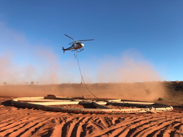
The Democratic Republic of Congo has taken a major step to modernise its mining sector by signing a strategic contract with Xcalibur Multiphysics Group SL to conduct nationwide airborne geophysical and geological mapping. This initiative will use advanced airborne surveys, including magnetic, radiometric and remote-sensing technologies, to collect high-resolution geological data across the country’s vast territory.
This landmark mapping programme positions the DRC to significantly improve its understanding of subsoil formations, resources and mineral potential. With the data generated from these aerial surveys, government and industry players will be equipped with a powerful decision-making tool to identify new deposits, certify resources and reserves, and enhance the country’s attractiveness to responsible mineral investors.
Through leadership by the National Geological Survey of Congo (SGN-C), the project also reinforces the state’s role in managing geoscientific information and supporting sustainable mining investment.
The initiative aligns with national development goals and global demand for critical minerals, underscoring the DRC’s commitment to unleashing its natural resource wealth while boosting long-term economic growth.


Leave a Reply